eYSIP 2026, mentor
3D LiDAR SLAM on a UAV
LiDAR-inertial SLAM taken from simulation to a mapping flight on a real drone.
- SLAM
- Hardware
- Education & Outreach
My contributions
- Mentored the intern in benchmarking KISS-ICP, LIO-SAM and FAST-LIO, and in building a custom FAST-LIO back end with keyframes, pose-graph optimisation and loop closure.
- Guided the UAV hardware integration: power distribution board, sensor and compute mounts, and fixing map drift from LiDAR-IMU extrinsics and thermal throttling.
- Supervised LIO-SAM evaluation on manual UAV flights, producing 3D maps; autonomous navigation is ongoing.
An eYSIP 2026 project I mentored with Arun P. Madhu: a LiDAR-inertial SLAM system for a UAV flying where there is no GPS. The intern was Devanshu Mangal.
Simulation first
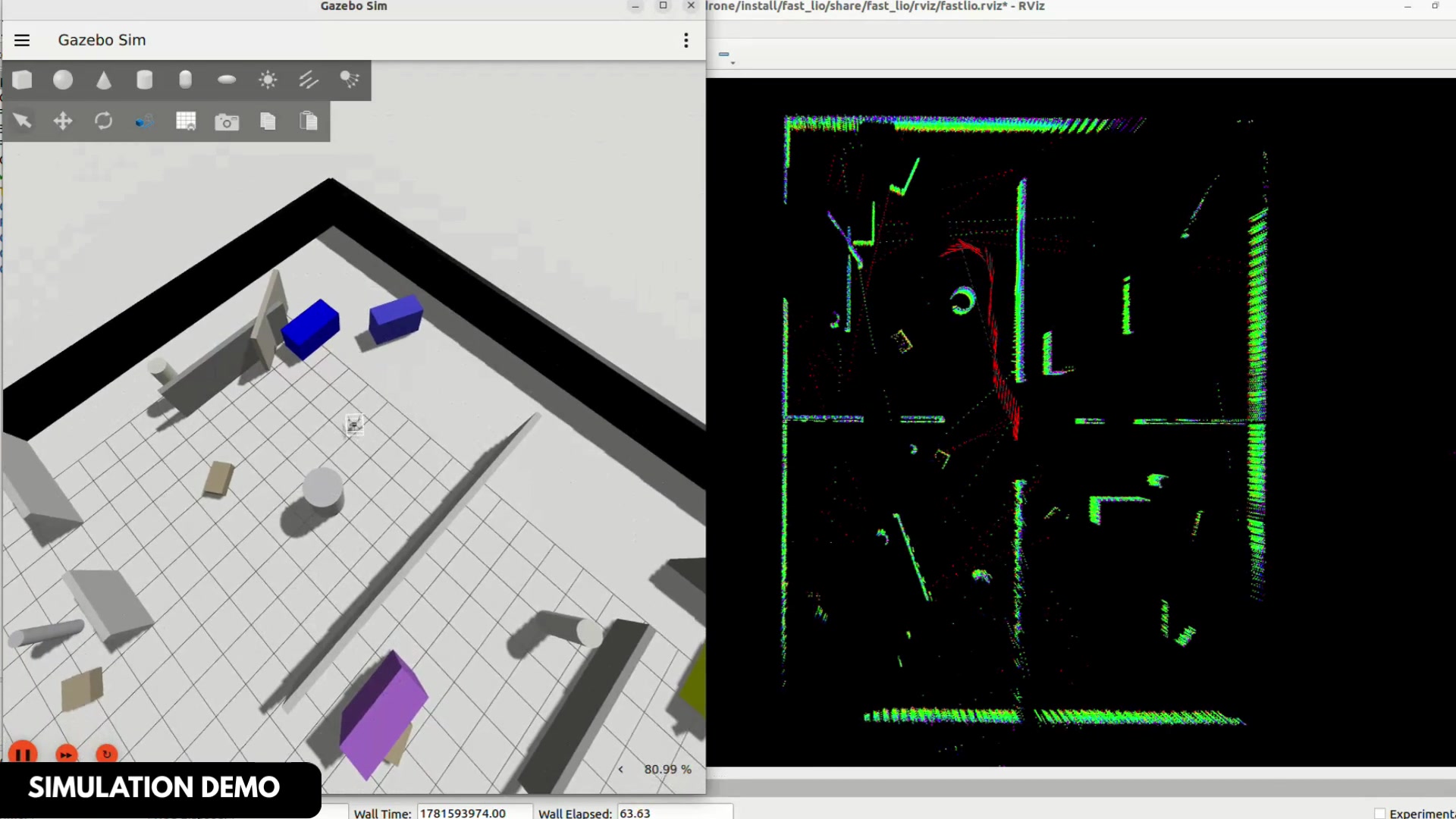
The team built a full simulation stack with PX4 SITL, Gazebo Harmonic and ROS 2 Humble, with a simulated RoboSense Airy LiDAR on the drone. KISS-ICP, LIO-SAM and FAST-LIO2 were integrated and compared there before any hardware flight.
On the drone
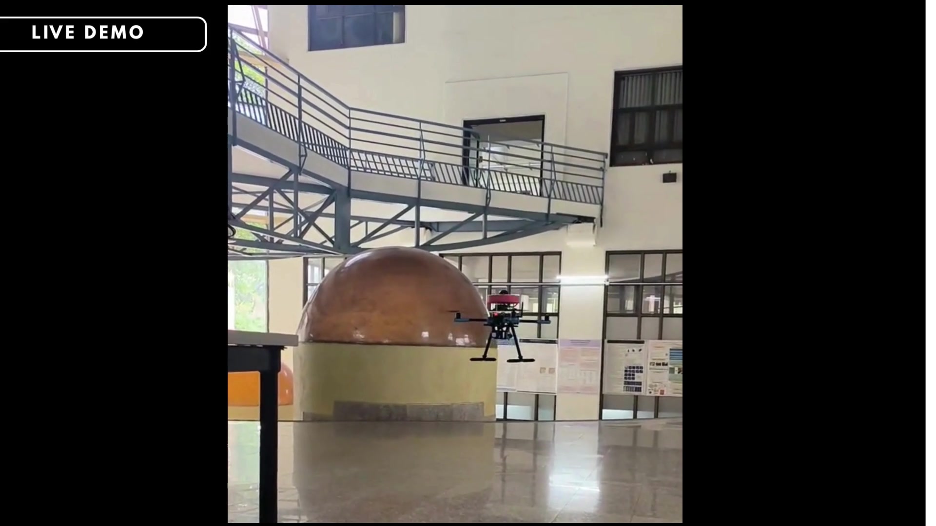
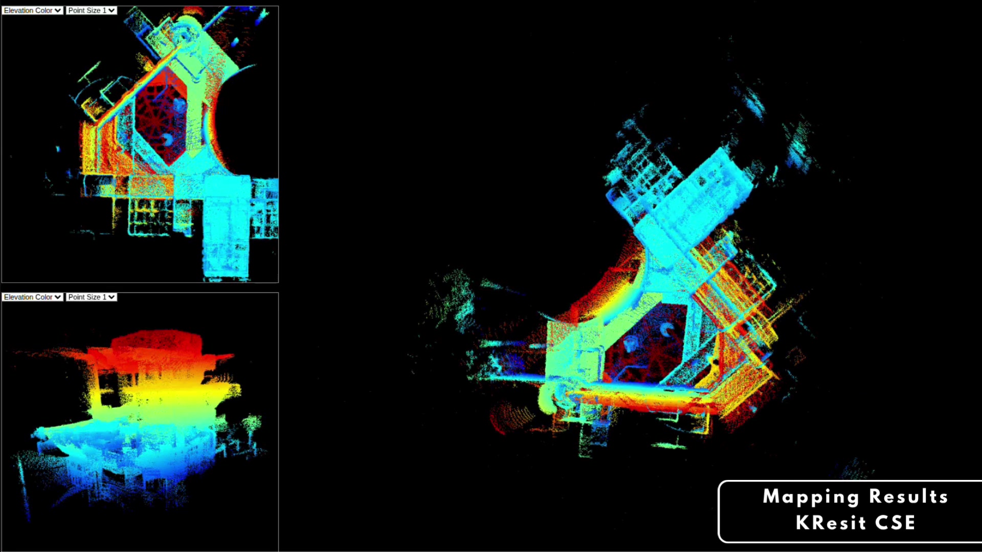
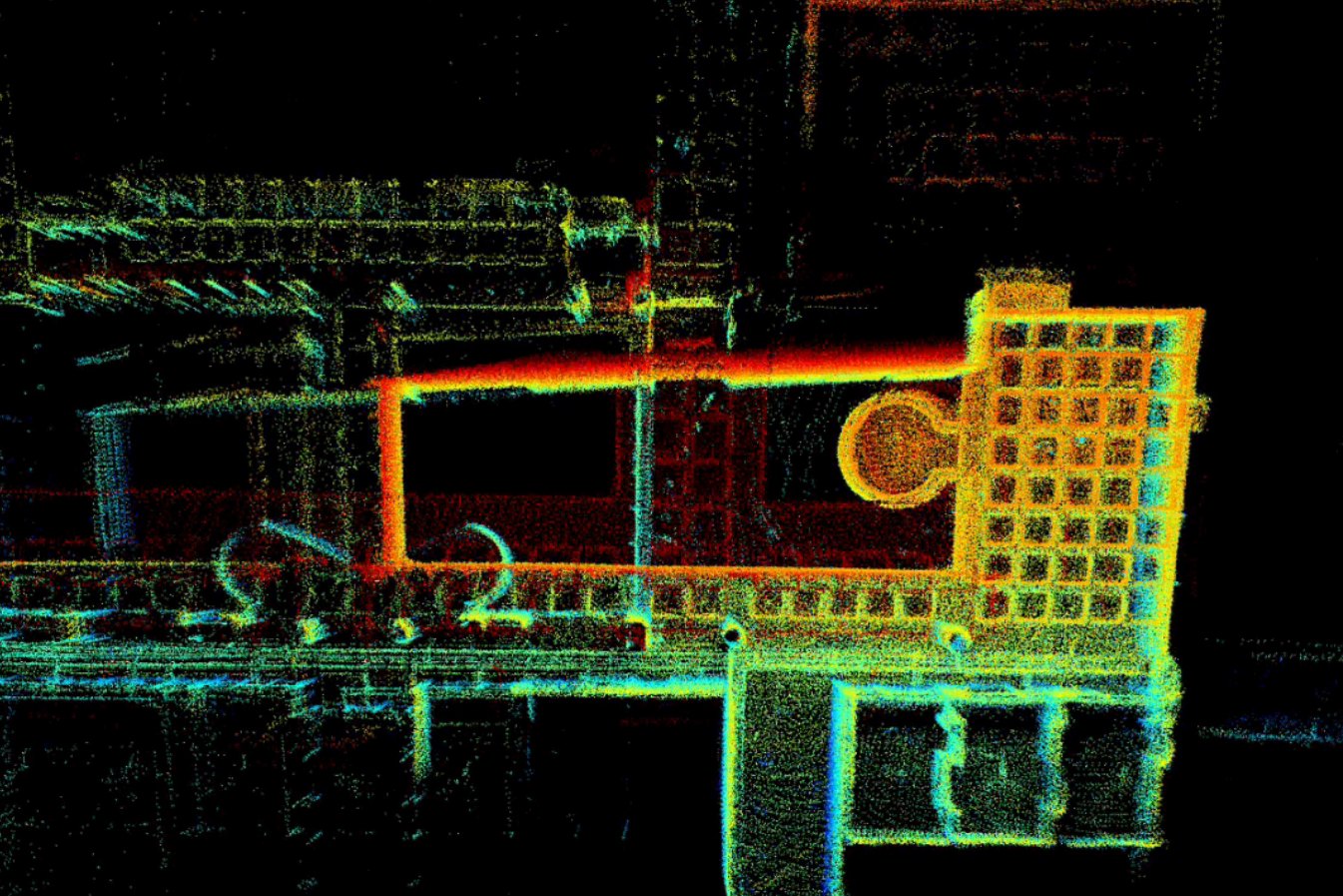
On hardware, the stack runs on a Jetson Orin Nano with the RoboSense Airy on a Holybro X500. I designed the power distribution board and the mounts for the payload limits. Map drift was traced to a LiDAR-IMU extrinsic error and thermal throttling; with both fixed, LIO-SAM produced 3D maps from manual flights.
Custom back end
A back end built around FAST-LIO odometry adds keyframe selection, Scan Context loop detection with GICP verification, and pose-graph optimisation to build a corrected global map. Autonomous navigation is ongoing.
Behind the project
e-Yantra's eYSIP 2026 video on the project.
Gallery